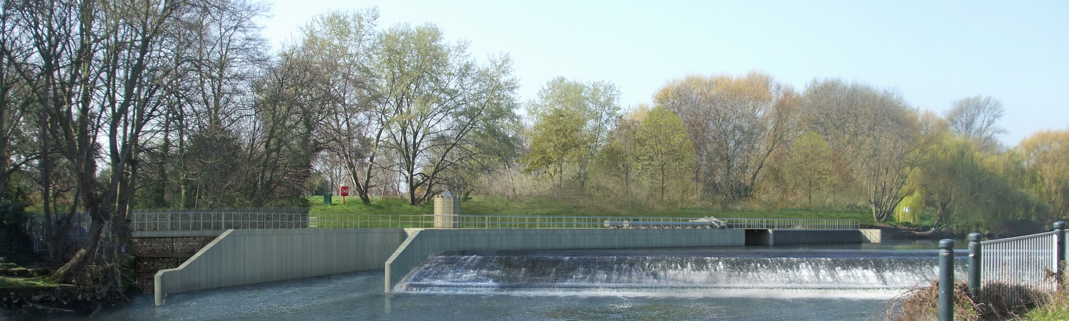
A visualisation of the proposed scheme is shown above. It is based on a 3D computer model of the underground turbine scheme incorporated into the ground survey carried out by local surveyors, Battlefield Land Surveys and these in turn have been “visualised” into the existing landscape by local architects, AHR. The width of the weir remains the same as now with the wall behind it separating the weir from the fish pass and turbine house beyond. Water for the turbine flows through the screen at the side of the river above the weir and is returned to the river through the exit channel alongside the weir. When river water levels are low, no water will flow through the turbine so as to maintain a good flow of water over the weir. For about 9 months of the year, water will flow through the turbine and hydroelectricity will be generated.
It is expected that about 1.7 million kWh of electricity can be generated in an average year. This will save about 400 tonnes of CO2 emissions going into the atmosphere when compared to the same amount of power being generated in a conventional power station.